Rejuvenating Rogers' Ruined Road
This article was originally published, in slightly different form, on Strong Towns member Will Gardner’s Substack, StrongHaven. It is shared here with permission.

The first impression of Fairhaven, Massachusetts, that most people get is when they cross the bridge from New Bedford and enter town on Route 6, also known as Huttleston Avenue here.
This is an important stretch of road. It serves as both a main entrance to town and as the point of connection between the Center and North Fairhaven. It’s also the site of Fairhaven High School (on the left in the photo above), whose remarkable gothic building serves as a hub of community activity for our town. The road here was created alongside the building of the bridge, at the behest of Fairhaven’s Robber Baron Benefactor Henry Huttleston Rogers. Here’s what it looked like when it was first built:

Tourism Director Chris Richard gave me a rundown of the history:
Rogers, who was Superintendent of Streets in Fairhaven at the time, told the County Commissioners if they lined up the new bridge with his property, he would build a wide, straight avenue as the town's entrance. The bridge opened to traffic in 1902. Construction of the high school started in 1905 and it was dedicated in 1906.
The Rogers Monument, now on the high school lawn, was built in 1911 on the traffic island in the middle of Huttleston Avenue at Main Street. It was moved in the 1960s because it was the cause of too many traffic accidents.

Can You Move That Monument? I’m Trying to Get to Chipotle
The thoroughfare was designed to be wide and straight to create a grand entrance to the town. When the magnificent new high school was built, the wide and straight road served as a fitting stage for this stunning building. Unfortunately, as we entered the era of auto-dominated infrastructure here, the wide and straight design of this road induced high vehicle speeds. With high speeds came the need for controlled intersections. In the U.S. that probably meant stop signs first, then traffic lights. As we’ve covered here before, traffic lights are designed to group vehicles in one place on the road. Another word for grouped vehicles is “congestion.”
In short, our town benefactor designed this road to attract people to our town and highlight its beauty, then state traffic engineers came along and turned it into a place where cars are either speeding through (most times of day) or stuck in traffic (during peak hours). It’s quite a metaphor: when cars began colliding with a monument to Rogers’ legacy, we chose to move that monument off to the side rather than address the design features that induce dangerous speeds. It was the Haven equivalent of shrinking the Arc de Triomphe to the size of the Spinal Tap Stonehenge and then tucking it off to the side of the Champs-Elysees so as not to inconvenience car commuters.

Today this stretch of road has the third highest crash rate in town. It’s not a Safe Route to School™ for our high school kids and it’s not pleasant to walk along. One of our neighbors, a 77-year-old woman was killed near here two years ago. She was waiting at the bus stop just down the road and a pickup jumped the curb and killed her.

The width of the crossing and speed of the cars make crossing here uncomfortable for pedestrians, particularly for kids and our elderly neighbors. Once a grand entrance, it now serves as an ugly barrier for anyone trying to walk or bike from the town center to North Fairhaven.
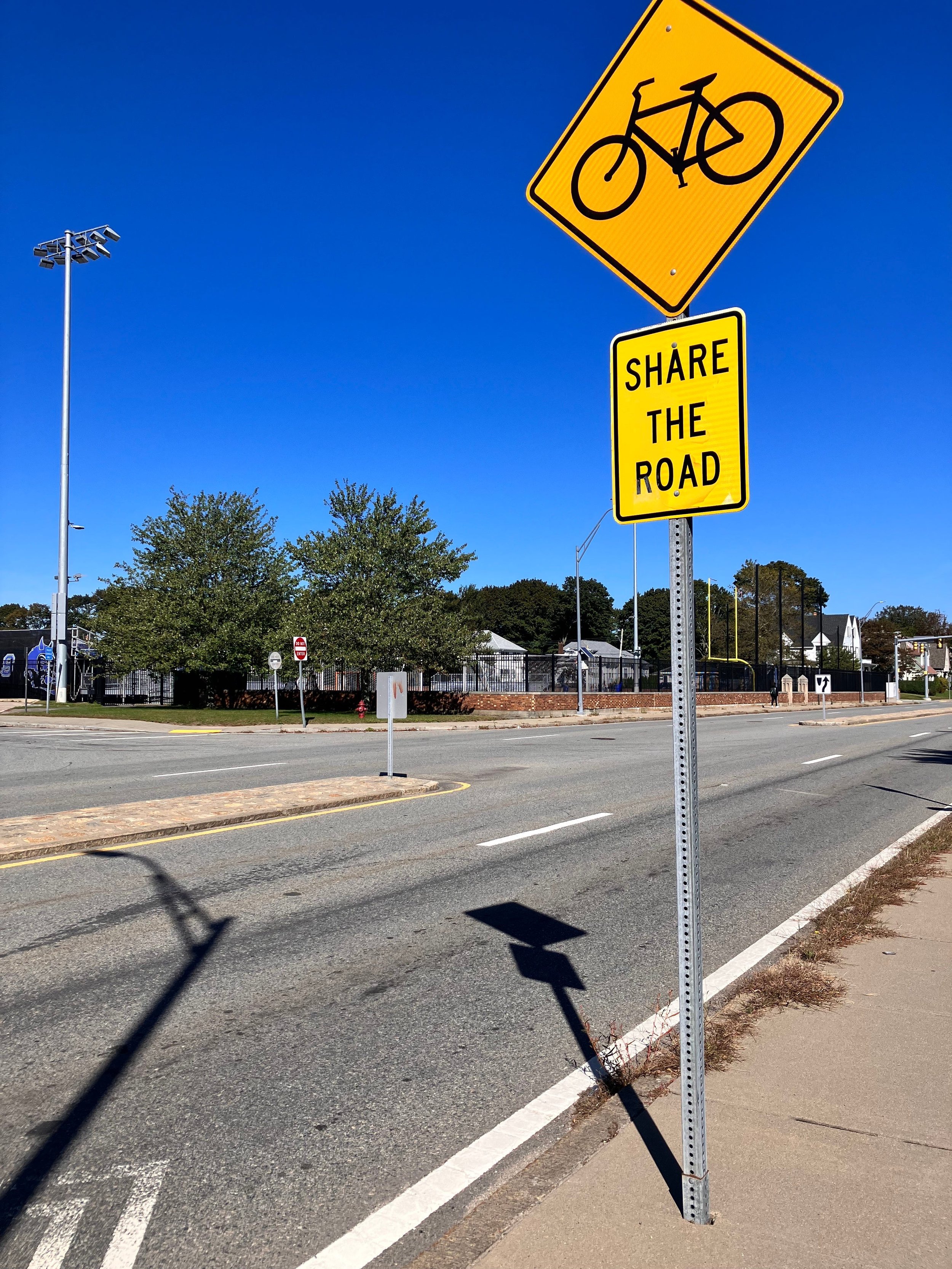
The placement of street signs on this road makes clear that pedestrians are an afterthought.
Insanity Is Doing What Dartmouth Does and Expecting Different Results
As part of Route 6, Huttleston Avenue is a state road. As Massachusetts Department of Transportation (MassDOT) makes its way down Route 6 making “improvements,” we may soon see changes to this corridor. While nearby towns have been proactive about engaging with the state on Route 6 work, Fairhaven has notably refrained from submitting any recommendations. This means that any changes, determined before a perfunctory hearing would be dictated by the same engineers who have blessed us with stroads and bigger stroads throughout the Commonwealth.
Rather than just waiting for MassDOT to come to us and feed the stroad, I propose we get clear on what we value most for this area and then work with the state to test some changes until those values are honored. In defining those values, a good place to start would be Rogers’ original vision for this corridor as a grand entrance to town. We have a rich history here, so any redesign of this street should serve to showcase the stunning high school building. We’re a place that lifts up our young people. Given that, the design of this area should prioritize the safety of our high school kids, who can currently be seen playing Frogger with fast-moving vehicles at dismissal. It should provide them with a Safe Route to School™, encouraging them to ride and walk to school, rather than driving short distances and (to the chagrin of neighbors in this area) parking throughout the neighborhood. It should be a pleasant place for people to walk on their way to see the undefeated Blue Devils football team play on a crisp October evening. It should facilitate an easy route for people walking and biking from the town center to North Fairhaven (meaning less need for driving for short trips). It should lure people toward our downtown areas to the north and south. It should draw people to our Visitors Center and Museum and to events like the Huttleston Marketplace. With a few tweaks, this stretch of Huttleston Avenue could be a remarkable showcase of Fairhaven’s strengths and a place of connection for our community.
FutureHaven
Most people in town drive through this place multiple times a day. We’ve become used to the way it is. It can be hard to imagine what these types of changes would look like or trust that this area could be better. With that in mind, I reached out to the talented James Cook at infracgi.com and asked him to do a rendering of a more people-friendly Huttleston Avenue. I wanted to give you a sense of the types of things we could do here to honor the shared values I proposed above. It’s a starting point for a discussion of what we want to see here in the future. Check it out!

Thank you to James Cook at infracgi.com!
Behold, the Blue Devil Bike Lanes! The safe pedestrian passage! The ample space for people! I can picture them stopping on the sidewalk to take selfies with the backdrop of our iconic high school. And without the constant noise of speeding cars, those people could talk with and hear each other.
But…Knuckleheads!
Before you yell at me that this would never work because knuckleheads drive too fast here, please remember that an overwhelming percentage of knuckle-headed driving is the result of weak street design. The reduced number of travel lanes, protected bike lanes, planters, and additional street trees here all serve to lower the effective design speed. If these features aren’t enough to lower speeds, we can keep tweaking until speeds are where they should be.
I imagine this design might also provoke concerns about congestion, given that it halves the number of travel lanes. That’s a concern worth considering. But just remember that the current design creates congestion at peak hours while inducing dangerously high speeds for all the other hours. If peak hour congestion remained an issue here or even increased a bit, but we made this area significantly safer and much more pleasant for everyone, isn’t that still a tradeoff worth making? Sure, we’ll listen to the person who drives through this area and might be inconvenienced by not being able to speed through it. But before that, we should consider the homeowners who live right here and have had more than one car fly into their backyard. Or maybe we should heed the lesson of our neighbors in Middleboro. Last May, 15-year-old Dylan Levesque was crossing MassDOT Route 28 at a crosswalk near his high school when he was struck and killed by a car. What would people in Middleboro give to be able to go back in time and design that stroad for lower speeds? Do you think arguments about inconveniencing people driving to Hannaford would carry much weight in that debate? We’ve had at least one death and many severe crashes on this corridor in recent years. I’d prefer not to wait until after we lose one of our young people to get serious about designing it with people in mind.
Again, this is just a starting point! I’m not a designer or an engineer. I’m just a dorky dad who loves this place enough to think it’s worth making better. I hope this rendering and the broader ideas in this post give our new town planner Paul and our other town leaders some ideas of what might be possible if we insist that MassDOT start any planning for this corridor by prioritizing Fairhaven’s history, its young people, its architectural beauty and its vibrant, walkable downtown areas.

Will Gardner is an education consultant and the founder of Alma del Mar Charter Schools. He’s currently scheming about how to improve his town, but he’s happy to help you with whatever you’re working on. You can find him at StrongHaven.substack.com.